Oceanography
Oceanography
Photo: UHH/Denstorf
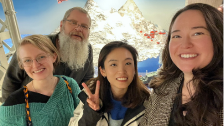
29 July 2022, by Jan Ladwig, Torbjörn Kagel and Lilli Weninger
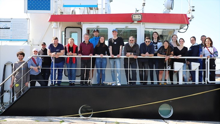
Photo: Cora Hörstmann
After 753 kilometers traveled, 3 moorings and 134 CTDs deployed, 93 water samples collected, and 223 protocols filled out, the measurement phase of our sea-going course was complete. How these numbers are composed, why we returned to Hamburg with one mooring less and what the Marner Plate has to do with it - all to read here.
But back to the beginning. On Saturday, April 30, we (the first of two teams) started with the Marschbahn towards Büsum. The actual course was not supposed to start until Monday, which is why we could still use the weekend to get to know the small town. It became clear that we were probably lowering the age average here by several decades. The days flew by and on Monday our instructors Martin Gade, Bernhard Meyer, and Niels Fuchs arrived with all our equipment and the RV Ludwig Prandtl at the Helgolandkai in Büsum. We then helped to unload and install the measuring equipment. This was followed by a small round of introductions by the crew and a safety briefing regarding life jackets, helmets, and behavior on board. The next morning, it was time for the first four students to embark on their very first oceanographic measurement cruise.
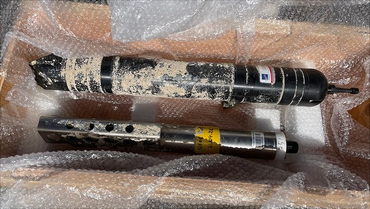
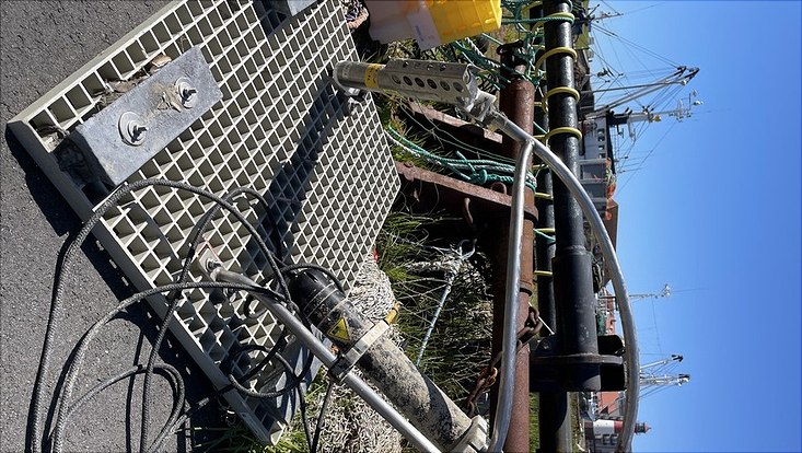
The aim of the whole campaign was to evaluate the currents in the Meldorf Bay. More precisely, we wanted to look at the difference between ebb and flood currents, as well as between surface and ground currents. Furthermore, we tried to identify the different inflows from Elbe and Eider as individual water masses. For measuring, we had on the one hand the on-board systems like the Ferrybox, the echo sounder as well as the ADCP at our disposal, on the other hand, we had taken a CTD, the moorings with a MicroCAT and an Aquadopp and several handheld instruments like a psychrometer, a refractometer, a secci disc and different thermometers from the university. Another goal was to analyze the new impact of the Marner Plate breakthrough. But more about this later.
On the first day, both the deployment of the three moorings at the previously planned positions and the adjustment and familiarization with the measuring instruments were on the agenda. The day offered quite rough seas, some complications in setting the moorings, but all in all there was a cheerful atmosphere on deck. The remaining four students, the so-called shore team, used the time on solid ground at the Research and Technology Center Büsum to plan the next voyage and upcoming measurements, as well as to look at data already obtained and check their correctness.
Within the next days the measurements became more and more routine. The trips began in the harbor with a short briefing for the captain regarding the route planned the day before and a small candy bribe for the constant stopping at the CTD stations. Then the ropes were loosened, the on-board instruments were turned on and the trip started. At first, three CTD stations as well as an ADCP section off Büsum were on the daily schedule. This is where we want to generate the greatest variety of data. Afterwards we drove to different regions around the Meldorfer Bucht and recorded the planned measurements with CTD, ADCP and Niskin bottle. In doing so, we repeated each route on different days to ensure better comparability and coverage of tidal phases. The time on the ship passed very quickly because there was always something to do and be it just observing the sea or having a conversation with the lecturers about oceanographic research in general.
The fifth trip on May 7 (as well as later May 10) should be a little different from the previous ones. Both times we went past the small island of Trischen, towards the Marner Plate and the already mentioned breakthrough. We wanted to observe the currents, as well as take some measurements and cross over to shore by speedboat to have a look at the situation on the spot. For this purpose, we were accompanied on one of the trips by Lutz Christiansen, who has been studying the breakthrough since its formation at the LKN (Landesbetrieb für Küstenschutz, Nationalpark und Meeresschutz). During the shore excursion he explained to us the history of the breakthrough, as well as the recent events and developments. How exactly this breach was formed is still the target of current research. Tidal currents have continued to wash out the small groove since 2018, leaving a current channel about 200 meters wide and 7 meters deep. It is also unclear how the breakthrough will develop in the future; the uncertainty is too great due to the complex morphodynamics of the Wadden Sea.
On Thursday, May 5, we were joined by the second team, which continued the measurements in the second week. The first two trips were each accompanied by two students from the first team to pass on the routines and activities. Thus, the transition was smooth, and the daily planning was taken over by the second team. The first team still accompanied them until the departure on Wednesday, May 11.
On the last day, the retrieval of the moorings was on the schedule. Everything went according to plan, but then while hoisting the southern mooring, the main rope broke, the floating buoy swung across the deck, almost catching Martin in the head, and as quickly as no one could see, the mooring disappeared into the murky waters of the Norderelbe. Even after some effort and several search maneuvers around the area of loss, it remained untraceable. The last mooring however was safely recovered and so the Ludwig Prandtl was navigated into the harbor of Büsum for the last time during the practical training. The next morning, the instruments and utensils that had been brought along were loaded again and driven to Hamburg. The second team then also set off in the direction of home.
Back in Hamburg, the analysis of the data obtained now follows on Mondays in the weekly seminar and in small working groups. The instructors are on hand to give us advice and support. All measurement results are sorted, analyzed, and put into an overall context. Once this phase has been completed, the findings will be presented at the institute in the form of posters, reports, and presentations. But until then, there is still a long way to go with certainly some obstacles, which are still beyond our field of vision.
 The lost mooring / Credit: Niels Fuchs
Even away from the scientific work, the sea-going course was a nice time for all of us, where we got to know each other better, played volleyball together, enjoyed sunsets and spent great evenings. The personal level with the lecturers was also more than pleasant, turning an internship into a nice first practical experience off campus. Thanks to all who made these experiences possible.
Postscript mooring (04 June 2022):
The sunken mooring could be salvaged after all. Our captain Marko Schacht informed the local fishermen about the failed retrieval maneuver and left the request that if someone should fish in the region, they could cast the nets a little deeper. This was done and the "Anika" brought the visibly battered finding back to the light on May 28th. Back in Hamburg, we were pleased to find that the data had been preserved and that the measuring instruments were still intact, although covered with vegetation. And so this story takes a good turn after all.

Photo: Sofie Stomps
Nina and Detlef with the Niskin bottle

Photo: Jan Malte Bohnenstengel
Florian and Noa on shore leave

Photo: Sofie Stomps
Florian, Martin and Jan Malte, a discussion

Photo: Torbjörn Kagel
Sofie and Isabella assembling the mooring

Photo: Torbjörn Kagel
Isabella, Jan and Antonia programming the mooring instruments

Photo: Antonia Müller-Harboe
A mooring is lowered into the water

Photo: Antonia Müller-Harboe
Martin and Anna exchange ideas

Photo: Torbjörn Kagel
Dilbara and Lilli drive a CTD

Photo: Florian Kämmer
Determination of a secchi depth

Photo: Sofie Stomps
Sighting of seal
We are oceanography students in our fourth semester. We studied the first three semesters online, which is why we value the time we have now spent to get to know each other better.
The practical, seagoing course is part of the bachelor's program in Geophysics/Oceanography. The students learn to scientifically and logistically prepare a measurement campaign, to carry out oceanographic measurements, to evaluate the obtained data, and to communicate the results in form of presentations and a report.